Name des Platzes: Annagassan-Hafen
Adresse: Irland, Annagassa, Harbour Road
Latitude: 53.88535
Longitude: -6.34838
V/E: Nein
Stellplatz eingetragen von: volki --> Link
Link zum Zielpunkt: --> Link


|
Von Bangor aus, auf die ARDS-Halbinsel, dann alles entlang der Küste, bis an die untere Spitze. Auto-Fähre über Loch Strangford,(Preis habe ich vergessen) weiter nach Downpatrick. Etwas eingekauft und dann weiter nach Ballywalter. Dort Mittagrast.(N54.457611° / W005.437224° ) Dann an der Küste entlang, um die Mourne-Mountains herum bis Newry. Ein Stück Autobahn bis nach Dundalk, dann zurück zur Küste bei Castlebellington und Annagassan. Dort stehen wir in einem kleinen Hafen mit Blick auf die riesige, bei Ebbe fast trockene Dundalk-Bay. (N53.884714° / W006.348579°) Ein Mann erzählte mir, da seien früher die Wikinger an Land gegangen, ein paar hundert Meter entfernt, hätte man mitten im Feld ein Long-Boat gefunden from Wikipedia:: Annagassan (Irish: Áth na gCasán, meaning "ford of the paths") is a village in the townland of Ballynagassan, County Louth, Ireland. It sits where the River Glyde enters the Irish Sea. It was first mentioned as Linn Duachaill in AD 841 when the establishment of a Viking longphort was recorded.[2] This has sub-sequently been confirmed by archaeological work. In 827 the Annals of Ulster record that the Vikings attacked the Ciannachta people of Louth and north Meath. These early raids were sporadic coastal attacks by small seaborne forces; however, from the 830s, a new phase was characterised by larger fleets, which penetrated up navigable rivers and plundered extensive inland areas. There is a legend that one such Viking was stranded after a raid and settled there. The locals believe this Viking heritage is evidenced by the long-held residence of a seafaring man of "mythic proportions" and wild Scandinavian appearance and demeanour, known to the villagers as "The Bear". Annagassan was once as important as the Viking settlement at Dubh Linn (The Black Pool). The modern village is generally believed to be built on what archaeologists consider to be a man-made polder structure, constructed to provide shelter for the fjord. The original settlement was located further upstream; navigation was considerably easier on the River Glyde in the 9th century before the intervening build-up of sediment.  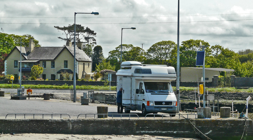 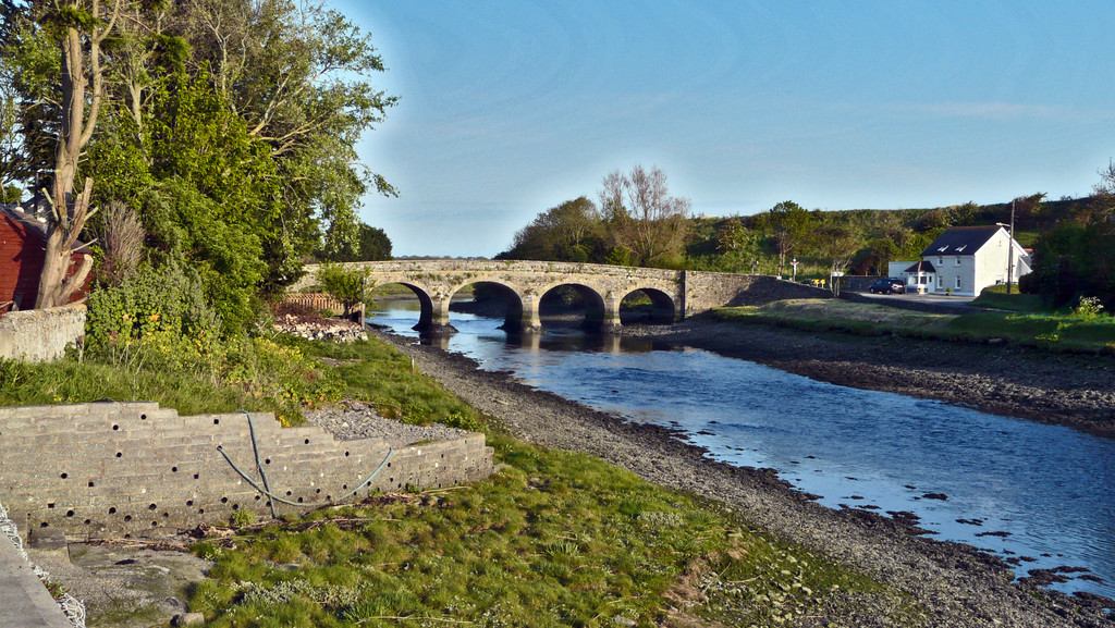 |
Anzeige
|